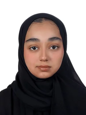
Noora GHULAM
Marketing Assistant
Noora GHULAM')>
Passionate about education and its transformative power, this upcoming graduate brings enthusiasm and new ideas to marketing for learning.
East Riffa , Bahrain
Aerospace
About
BRS-Labs is a Global Education Developer of Space Technology, Satellite Images, and Remote Sensing. Also, it is a Developing Education Partner of Hexagon SIG. BRS-Labs is the first company worldwide that developed a full online educational program in the field of Remote Sensing & Satellite Image Processing that includes education, evaluation, testing & certification. Our main goal is to provide you with simple & attractive ways of teaching, practicing & applying Remote Sensing techniques and satellite image processing in your own profession. We deliver a complete set of online short courses including more than ninety recorded video lectures & 16 short courses. Our educational program is delivered to the users through the Remote Sensing Portal which manages the educational process.
We guarantee to increase the efficiency & productivity of personnel through our distance learning. We seek to create pioneers in the Remote Sensing community. Hence, we developed a simple teaching standard that enables you and thousands worldwide to convert their laptops into Real Remote Sensing Labs. These Labs are powerful enough to perform all satellite image processing lab work in addition to understanding how to integrate both field and lab work together. In other words, they will be able to conduct complete Remote Sensing projects.
You can benefit from our courses if you are a Remote Sensing Specialist, GIS Specialist, Geologist, Mineralogist, Petrologist, Geographer, Surveyor, Urban Designer, Agriculturalist, Exploration Specialist, Soil Specialist, Environmentalist, Computer Engineer, Irrigation Engineer, Artificial Intelligence Specialist, Roads Engineer or some others.
In addition, we also deliver a testing system (like TOEFL, IELTS, and PMP) in the field of Remote Sensing and Satellite Image Processing. It includes three main levels of evaluation certificates as follows:
Remote Sensing Specialist.. RSS™.
Remote Sensing Professional.. RSP™.
Remote Sensing Solution Developer.. RSSD™

Share
Recent Chats
Share via email
Future: handle WhatsApp here
Future: handle LinkedIn here
Future: handle Twitter here
SUBMENU HERE
Share via Chat
Copy Link
