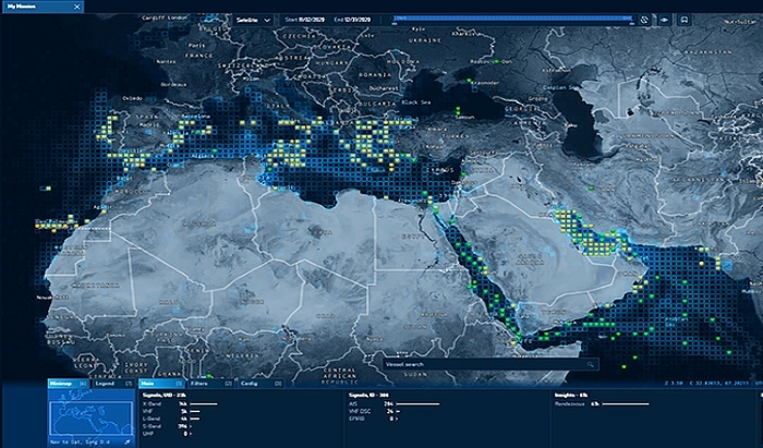
Constellation Hawkeye 360 operates a first of its kind commercial satellite constellation. The constellation is comprised of a cluster of three satellites that fly in formation using a specially designed propulsion system. The low earth orbit and wide field of view of the satellites supports frequent revisits anywhere each day.
Description
More Products & Services
Products & Services
Maritime Domain Awareness Goes Beyond AIS - HawkEye 360
HawkEye 360
The HawkEye 360 Constellation can geolocate a diverse set of radio frequency (RF) signals that provide for superior maritime domain awareness
Rf Analytics Offers Defense More Accuracy & Confidence | Hawkeye 360
HawkEye 360
Rf Analytics provided by HawkEye 360, gives defense customers new information on activity in their area of interest that they may have never seen before.
Mission Space: A New Era of RF Geospatial Intelligence
HawkEye 360
Mission Space is the first commercial platform purpose-built to close the GEOINT interpretation gap between the collection and analysis of RF data. By fusing...
The Power of RF Mapping from Space
HawkEye 360
Kevin Moyer, Senior Director of Investor Strategy, describes why HawkEye 360's constellation offers a wide perspective from space, with our RF data providing...
Description
Constellation Hawkeye 360 operates a first of its kind commercial satellite constellation. The constellation is comprised of a cluster of three satellites that fly in formation using a specially designed propulsion system. The low earth orbit and wide field of view of the satellites supports frequent revisits anywhere each day.

Share
Recent Chats
Share via email
Future: handle WhatsApp here
Future: handle LinkedIn here
Future: handle Twitter here
SUBMENU HERE
Share via Chat
Copy Link


